Alaska is jam packed with incredible hiking trails and opportunities for backpacking. I know it’s kind of cliche, but Alaska really does have an untamed wildness about it… and the state has some of the most rugged landscapes in the world. In saying that, you don’t have to be Bear Grylls to have your own Alaska hiking experience! In this post I have listed 5 epic hikes and backpacking trips to consider for your next visit to the last frontier (plus some packing tips!)
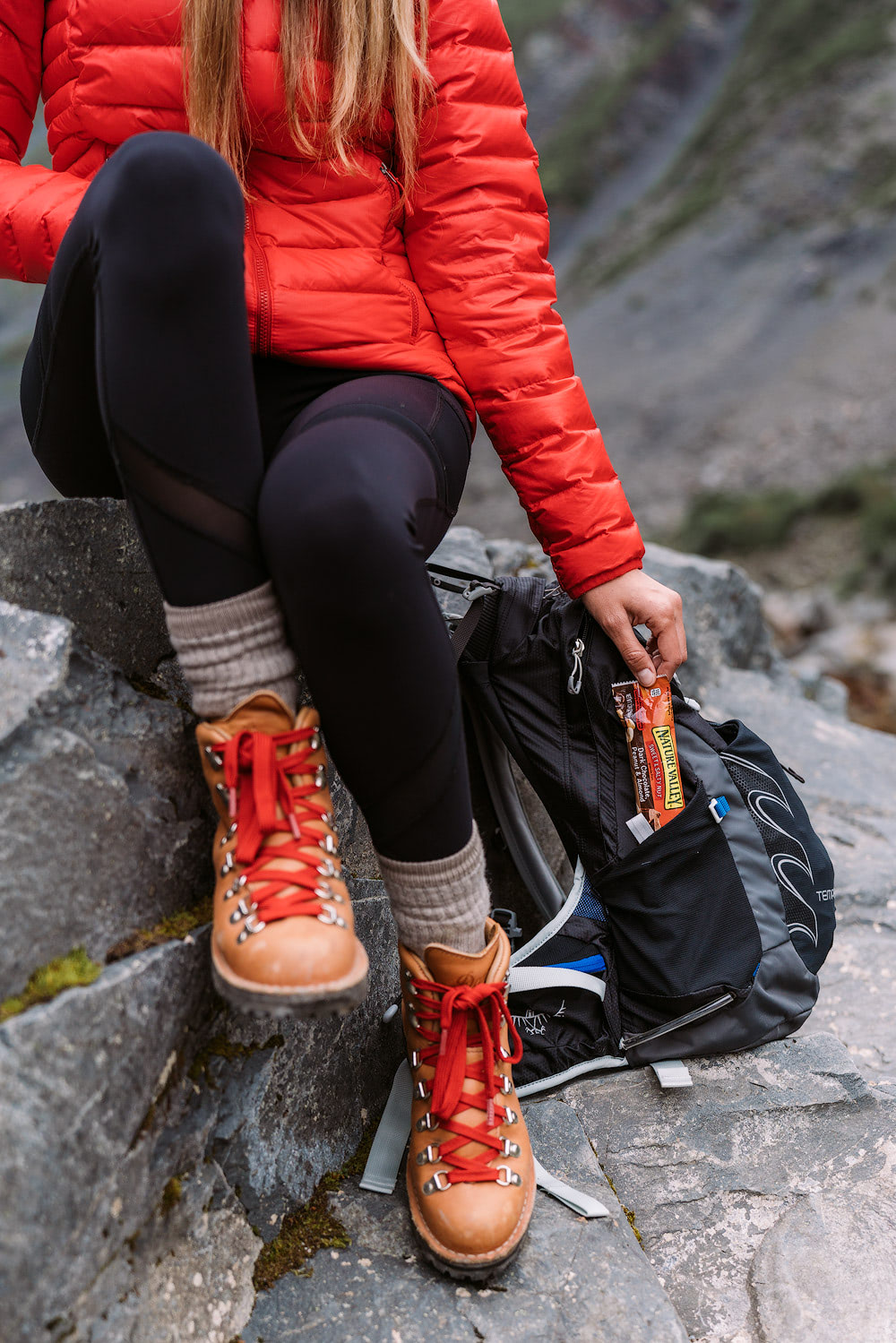
Camping, Hiking, Outdoors Gear, Outdoors, Lifestyle, Backpacking, Hiking, Adventure Travel, Backpacking,Adventure Travel,Road Trips,National Parks, Hiking, Lifestyle, Travel, North America Travel, Adventure Travel, United States, Backpacking, U.S. Travel, Camping, Outdoors, Hiking, Backpacking, Lifestyle, Travel, Adventure Travel, North America Travel, U.S. Travel, United States, Outdoors, Lifestyle, Backpacking, Adventure Travel, Travel, North America Travel, United States, U.S. Travel, Camping, Outdoors, Clothing, Lifestyle, Hiking, Fashion, Camping, Backpacking, Weather, Footwear, Outdoors, Hiking, Lifestyle, Adventure Travel, Travel, Camping, North America Travel, United States, U.S. Travel, Lifestyle, Travel, Outdoors, Hiking, North America Travel, U.S. Travel, Backpacking, United States, National Parks, Lifestyle, Outdoors, Lifestyle, Backpacking, Hiking, Adventure Travel, Backpacking,Adventure Travel,Travel, United States, North America Travel, U.S. Travel, Outdoors, Adventure Travel, Hiking, Driving, Outdoors, Lifestyle, Travel, North America Travel, U.S. National Parks, Hiking, U.S. Travel, United States, Adventure Travel, TRAVEL,TRAVEL (CANADA),TRAVEL (AUSTRALIA),TRAVEL DEALS,TRAVEL (UK),TRAVEL (INDIA),AIR TRAVEL,NORTH AMERICA TRAVEL,TRAVEL (NEW ZEALAND),ASIA TRAVEL,AFRICA TRAVEL,TRAVEL INSURANCE, Outdoors, Lifestyle, Backpacking, Hiking, Adventure Travel, Backpacking,Adventure Travel, TRAVEL WRITING,SOUTH AMERICA TRAVEL,CENTRAL AMERICA TRAVEL,EUROPEAN TRAVEL,U.S. TRAVEL,ADVENTURE TRAVEL,CARIBBEAN TRAVEL,MIDDLE EAST TRAVEL,TRAVEL INDUSTRY, Outdoors, Lifestyle, Backpacking, Hiking, Adventure Travel, Backpacking,Adventure Travel, FLYING,AIRLINES,TRAVEL (MALAYSIA), Outdoors, Mountaineering, Rock Climbing, Lifestyle, Hiking, Mount Everest, United States, Travel, Nepal, Hiking, Lifestyle, Outdoors, Lifestyle, Backpacking, Hiking, Adventure Travel, Backpacking,Adventure Travel, Travel, Adventure Travel, North America Travel, United States, Backpacking, U.S. Travel, Camping, Outdoors, Lifestyle, Adventure Travel, Travel, Backpacking, North America Travel, United States, U.S. Travel, Camping
5 EPIC ALASKA HIKING & BACKPACKING ADVENTURES
Camping, Hiking, Outdoors Gear, Outdoors, Lifestyle, Backpacking, Hiking, Adventure Travel, Backpacking,Adventure Travel,Road Trips,National Parks, Hiking, Lifestyle, Travel, North America Travel, Adventure Travel, United States, Backpacking, U.S. Travel, Camping, Outdoors, Hiking, Backpacking, Lifestyle, Travel, Adventure Travel, North America Travel, U.S. Travel, United States, Outdoors, Lifestyle, Backpacking, Adventure Travel, Travel, North America Travel, United States, U.S. Travel, Camping, Outdoors, Clothing, Lifestyle, Hiking, Fashion, Camping, Backpacking, Weather, Footwear, Outdoors, Hiking, Lifestyle, Adventure Travel, Travel, Camping, North America Travel, United States, U.S. Travel, Lifestyle, Travel, Outdoors, Hiking, North America Travel, U.S. Travel, Backpacking, United States, National Parks, Lifestyle, Outdoors, Lifestyle, Backpacking, Hiking, Adventure Travel, Backpacking,Adventure Travel,Travel, United States, North America Travel, U.S. Travel, Outdoors, Adventure Travel, Hiking, Driving, Outdoors, Lifestyle, Travel, North America Travel, U.S. National Parks, Hiking, U.S. Travel, United States, Adventure Travel, TRAVEL,TRAVEL (CANADA),TRAVEL (AUSTRALIA),TRAVEL DEALS,TRAVEL (UK),TRAVEL (INDIA),AIR TRAVEL,NORTH AMERICA TRAVEL,TRAVEL (NEW ZEALAND),ASIA TRAVEL,AFRICA TRAVEL,TRAVEL INSURANCE, Outdoors, Lifestyle, Backpacking, Hiking, Adventure Travel, Backpacking,Adventure Travel, TRAVEL WRITING,SOUTH AMERICA TRAVEL,CENTRAL AMERICA TRAVEL,EUROPEAN TRAVEL,U.S. TRAVEL,ADVENTURE TRAVEL,CARIBBEAN TRAVEL,MIDDLE EAST TRAVEL,TRAVEL INDUSTRY, Outdoors, Lifestyle, Backpacking, Hiking, Adventure Travel, Backpacking,Adventure Travel, FLYING,AIRLINES,TRAVEL (MALAYSIA), Outdoors, Mountaineering, Rock Climbing, Lifestyle, Hiking, Mount Everest, United States, Travel, Nepal, Hiking, Lifestyle, Outdoors, Lifestyle, Backpacking, Hiking, Adventure Travel, Backpacking,Adventure Travel, Travel, Adventure Travel, North America Travel, United States, Backpacking, U.S. Travel, Camping, Outdoors, Lifestyle, Adventure Travel, Travel, Backpacking, North America Travel, United States, U.S. Travel, Camping
CURRY RIDGE, DENALI STATE PARK
Location: Curry Ridge Trailhead, Denali State Park.
Distance: 4 miles (roundtrip).
Elevation: 1100 feet gradual gain from the trailhead up to the ridge.
Parking: Costs $5 for a day pass ($10 overnight).
Camping: Yes, camping is an option on the ridge, though you must be at least half a mile from the lake (according to signage at the trailhead). Be sure to follow Leave No Trace principles. There is also a fairly new and really nice campground right where the hike leaves from – K’esugi Ken Campground (including RV and tent campsites).
Details: Curry Ridge Trail is a picturesque and relatively short hike that only officially opened in 2017. Leaving from the day use parking area at K’esugi Ken Campground, the trail gradually climbs up to the ridge along a well-maintained path. From Curry Ridge, hikers are treated to spectacular views overlooking the Chulitna River and the entire Alaska Range to the west, plus beautiful Lake 1787 to the east. On a clear day Denali (20,310 feet) can be seen, though we weren’t fortunate enough to catch a glimpse during this visit.
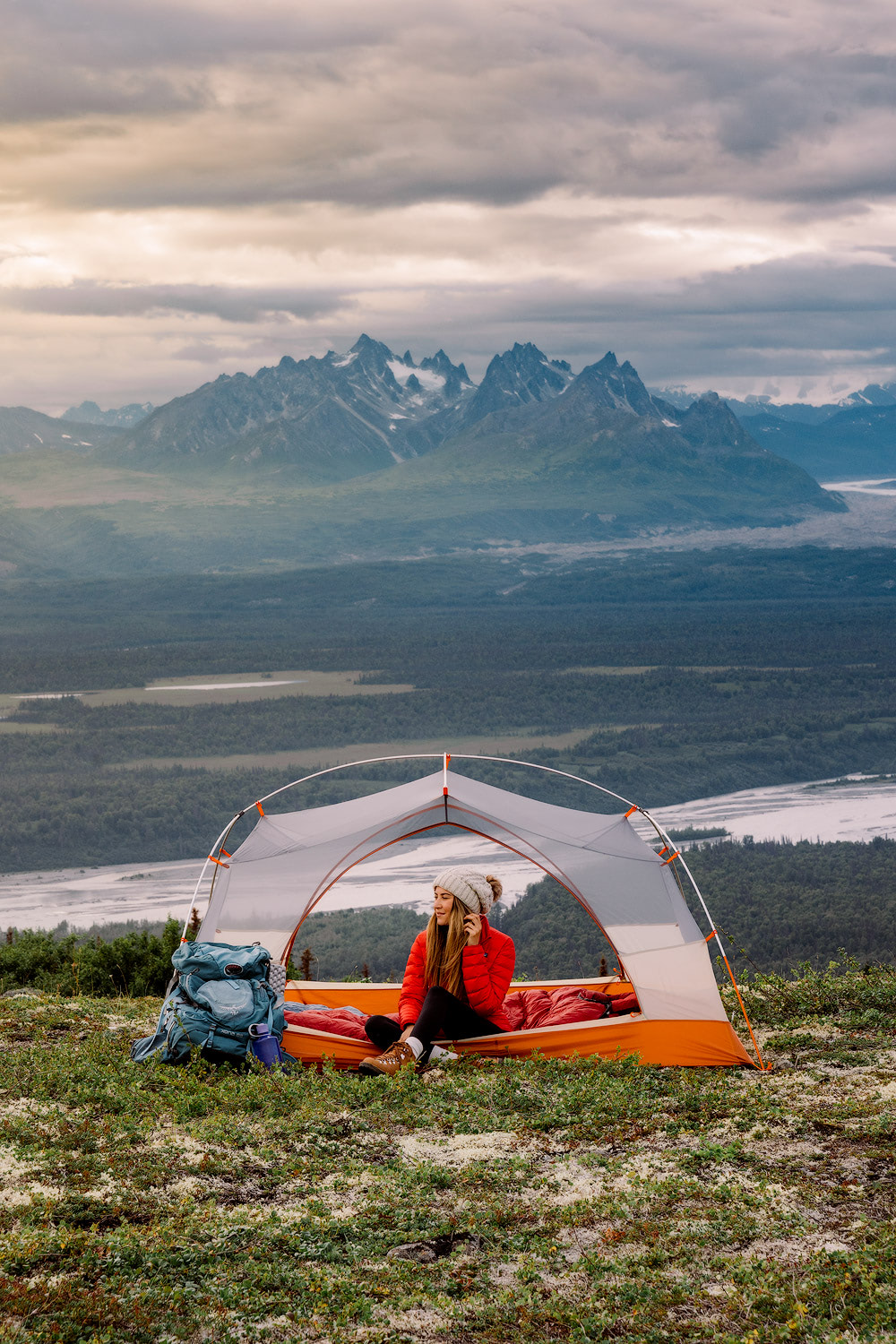
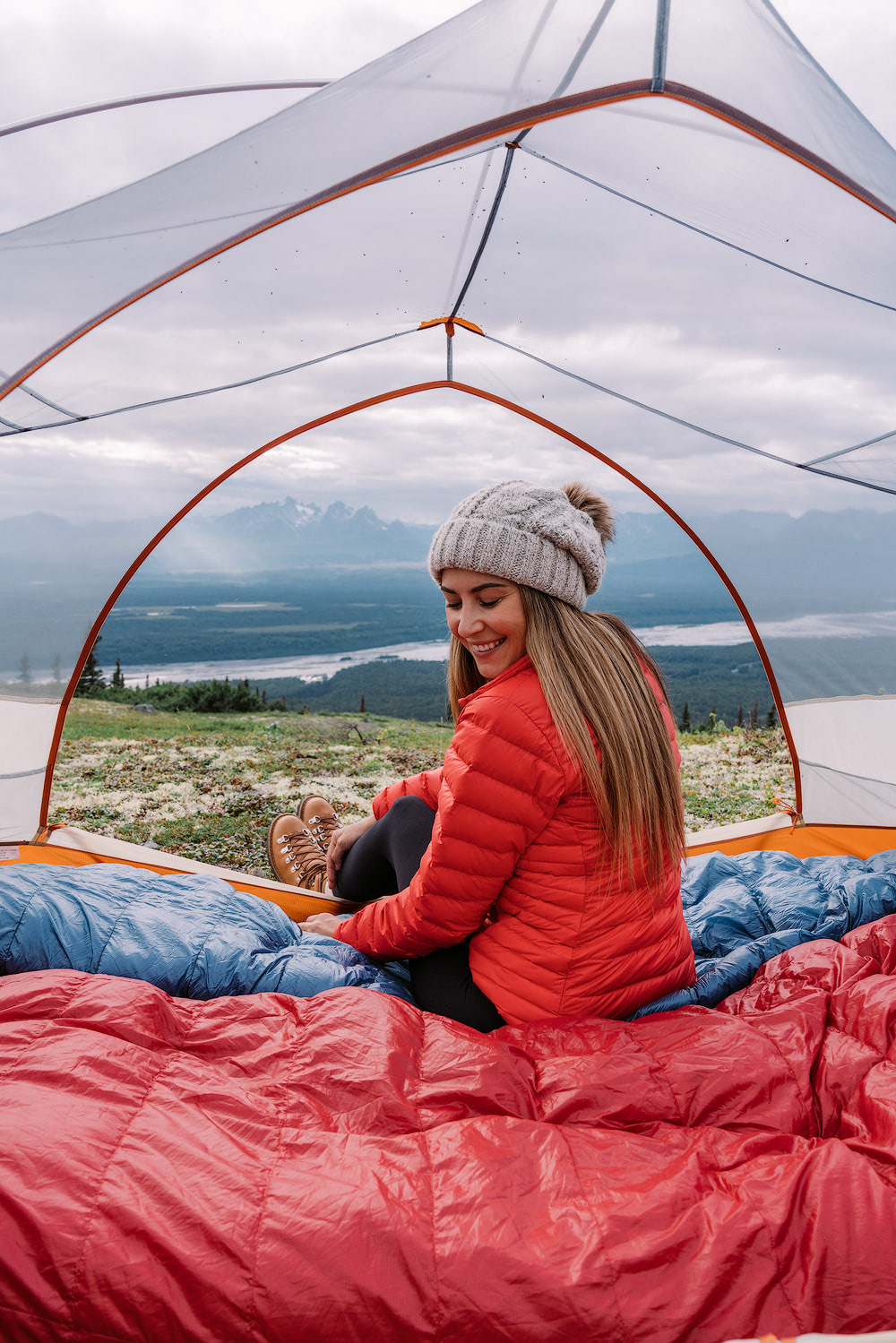
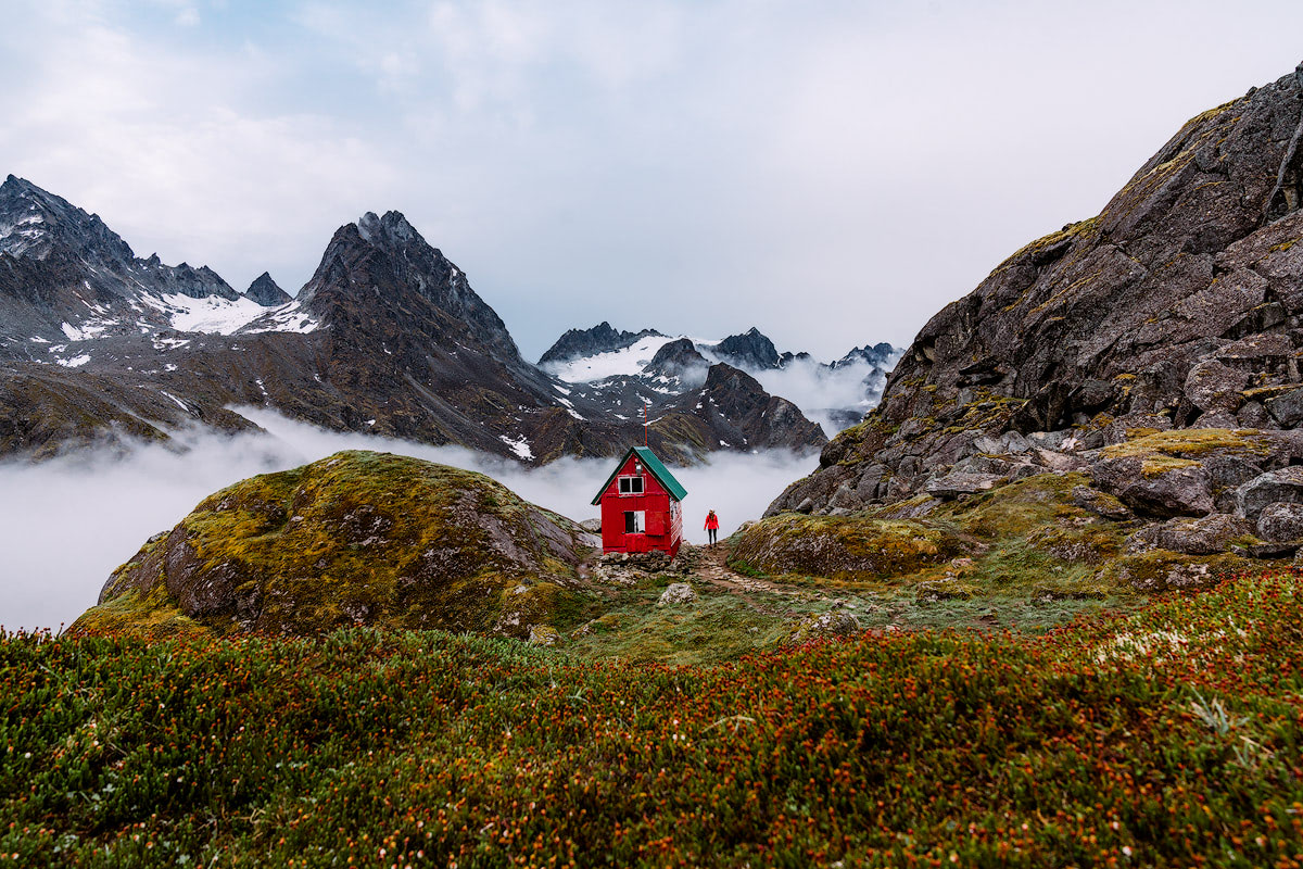
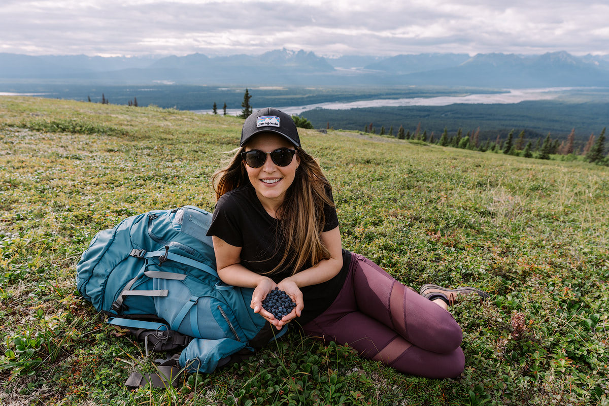
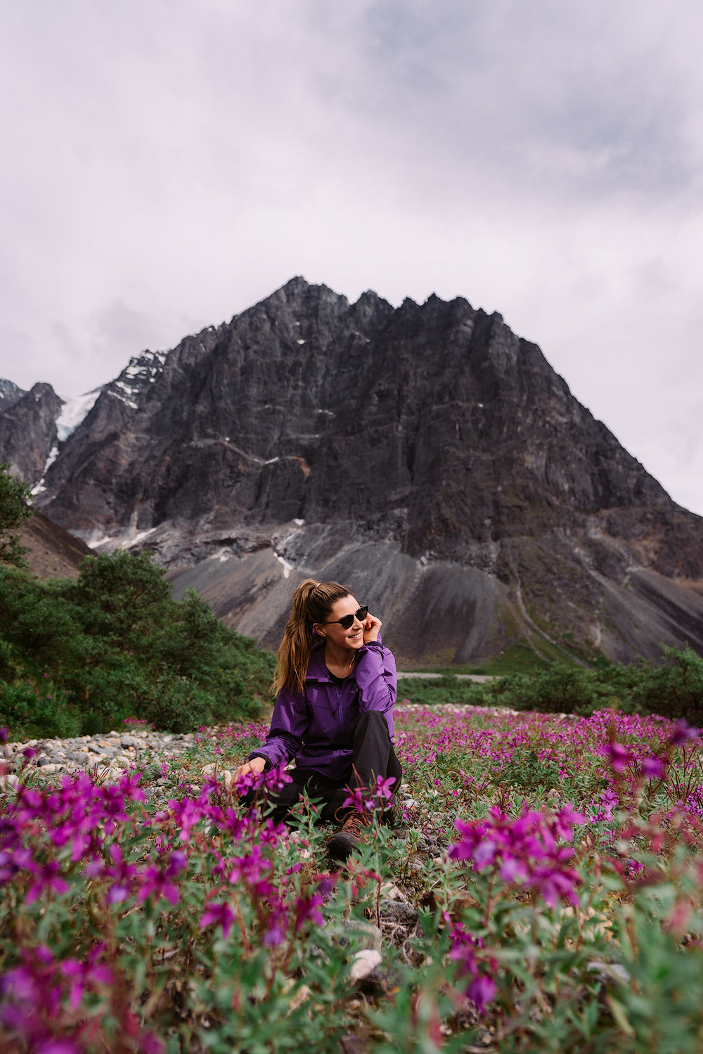
MINT HUT, TALKEETNA MOUNTAIN RANGE
Location: Gold Mint Trailhead, Talkeetna Mountain Range.
Distance: 18 miles (roundtrip). Note, some websites report 16 miles roundtrip but we clocked 9 miles each way on MapMyHike and Gaia, without going off-trail.
Elevation: 2500 feet gain, gradually at first then the last 1,000 feet is quite steep and rocky.
Parking: Costs $5 for a day pass ($10 overnight).
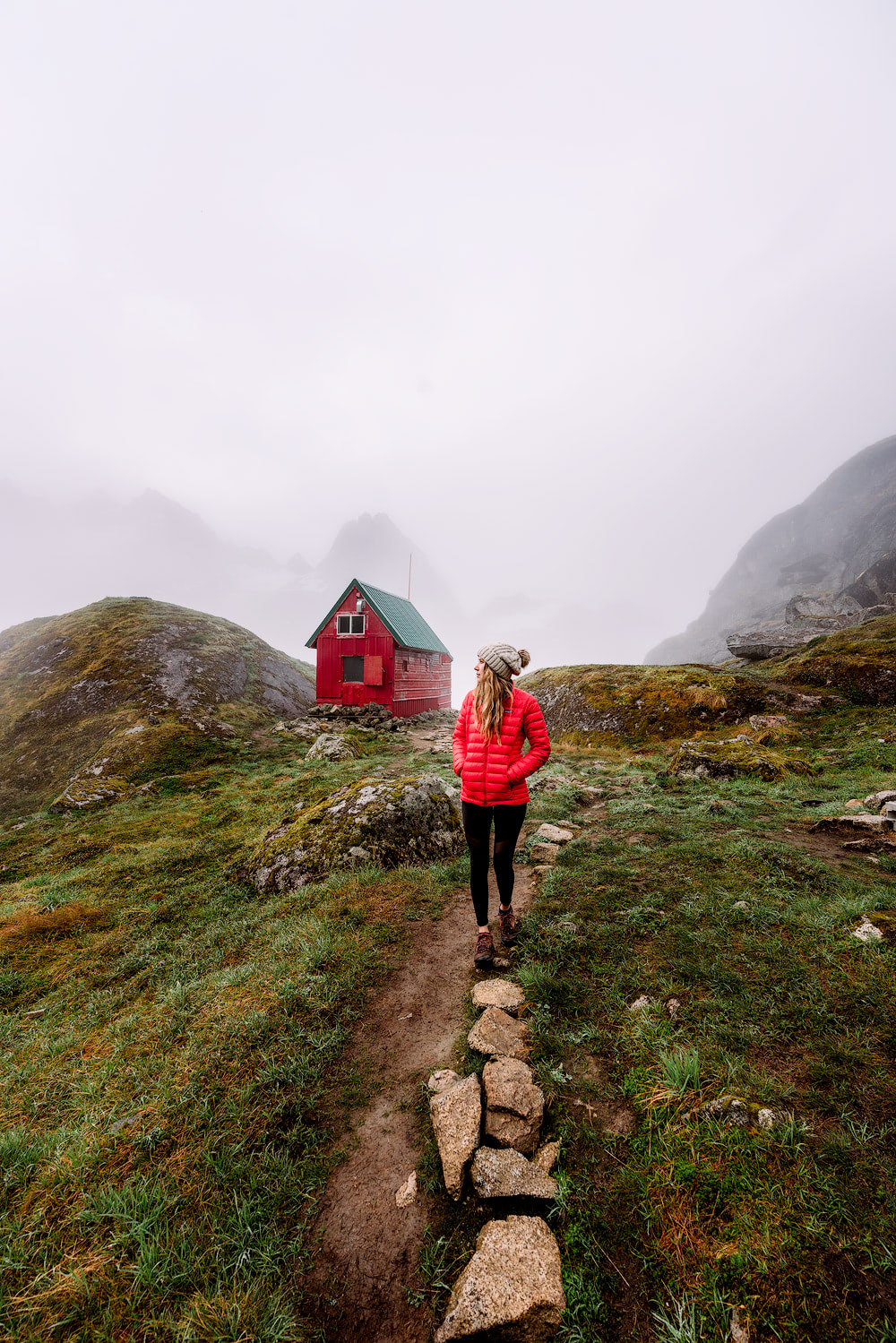
Camping: Yes, camping is available in the hut or you can bring a tent (we opted to bring our tent, presuming we wouldn’t be the only visitors). The hut is first-come, first-serve and you must be a member of the Mountaineering Club of Alaska ($20/person annually). The hut has a two-burner stove (BYO white gas), a composting toilet and sleeping room for 8 people. Be sure to follow Leave No Trace principles.
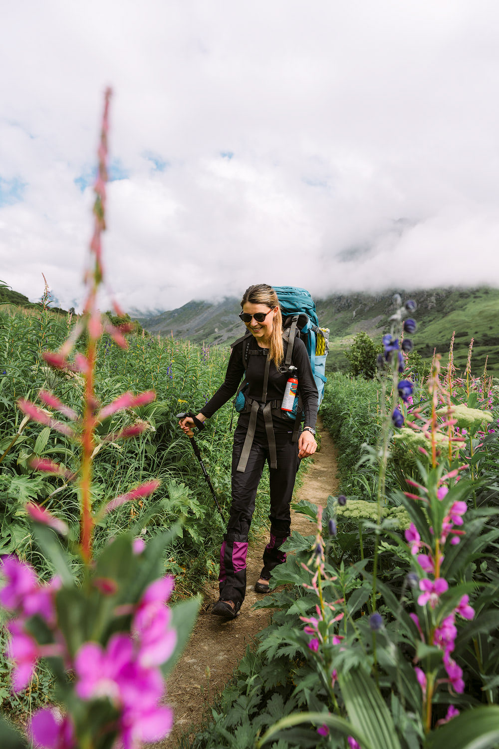
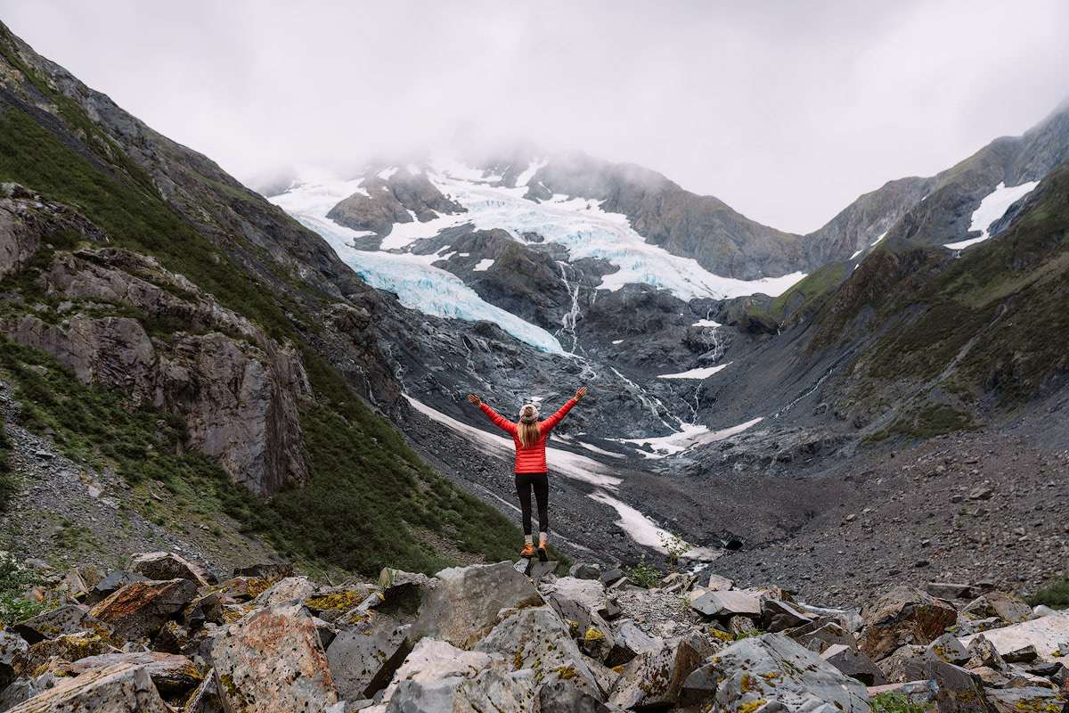
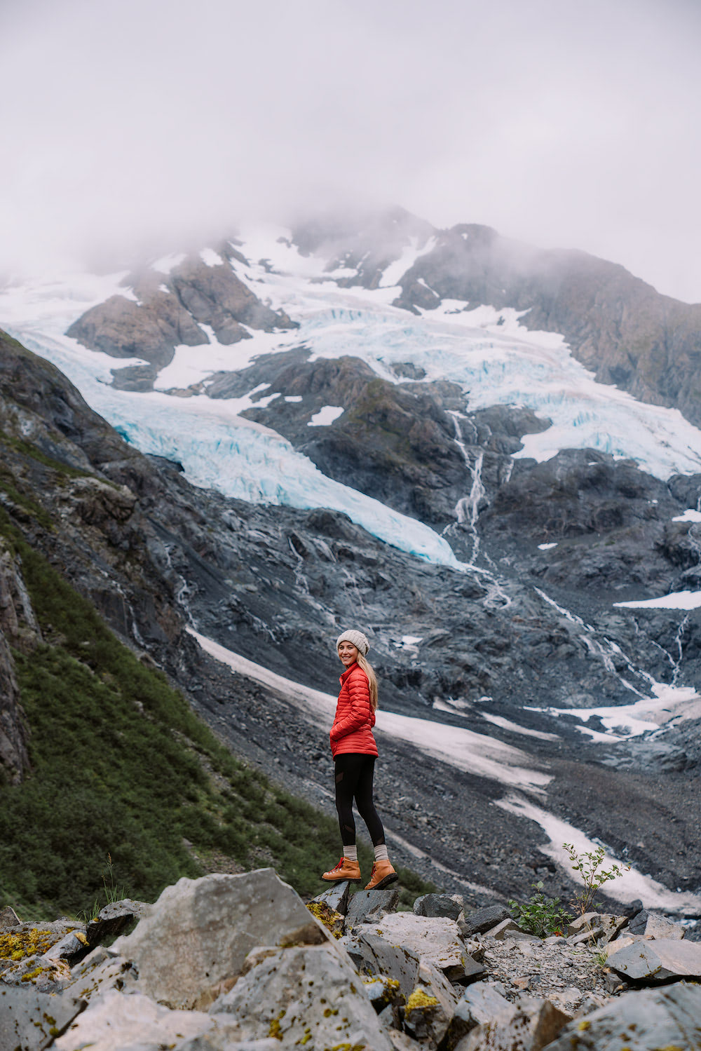
Details: The Gold Mint Trail can be approached as a very long day hike, an overnighter, or even a multi-day trip. We opted to stay one night nearby Mint Hut though we did meet people who were continuing on further to Bomber Hut. Plus, we met some people who were only hiking the first 4 miles or so to enjoy views of the Little Susitna River – so you can make this hike whatever you want!
Most of the trail follows along a glacial valley with the Little Susitna River flowing through the middle. We stopped numerous time to marvel at the blue water, lush vegetation and wildflowers. Be prepared for sections of bush-whacking, walking through streams and sections of mud (mostly towards the end of the valley).
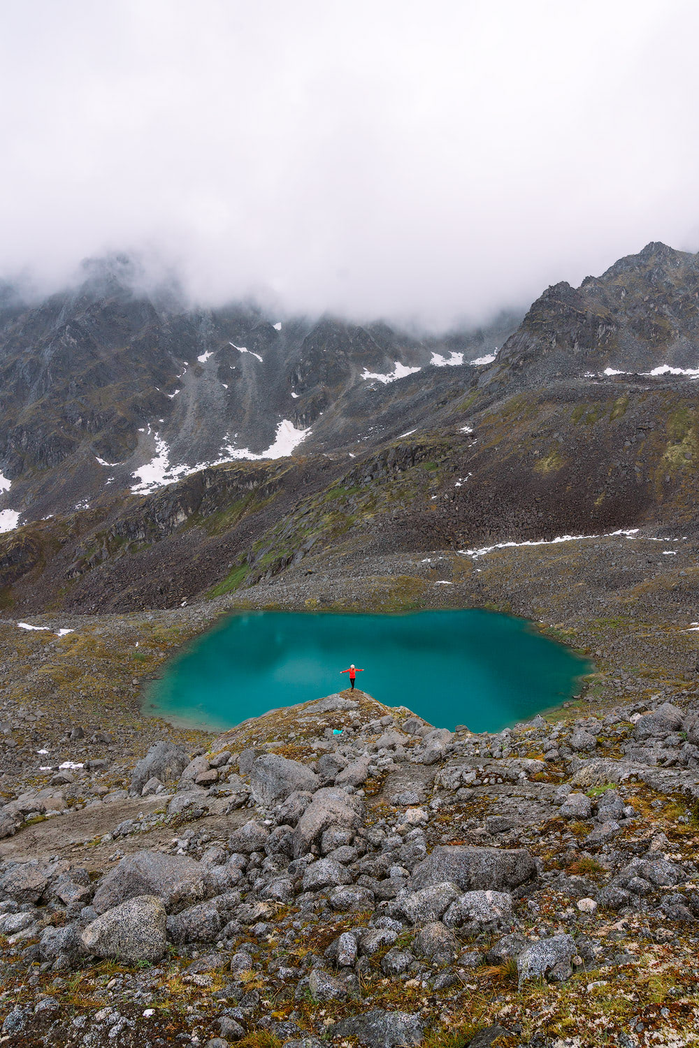
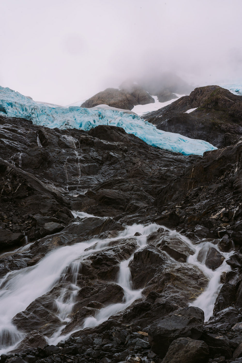
As you near the end of the valley you will start heading up the steep mountainside into a bowl overlooking Mint Hut and the Talkeetna’s. When the fog cleared it was truly incredible to witness the 360-degree views of jagged peaks, boulder fields, waterfalls and streams. During our visit we also opted to explore some lakes above the hut, namely Jewel Lake and Moonstone Lake, and beautiful Mint Glacier (from the base of Moonstone Lake). Check out this detailed map for more information.
BYRON GLACIER, CHUGACH NATIONAL FOREST
Location: Byron Glacier Trailhead, Chugach National Forest.
Distance: 2.8 miles (roundtrip) to the viewing area. Option to continue further though not advised by the USDA (due to melting snow and ice).
Elevation: 100 feet gain; overall a very flat trail.
Parking: Free, at trailhead.
Camping: Not along the trail itself, though we were told it may be possible higher up on a ridge (off trail) – please check with local rangers first. We opted to camp at nearby Williwaw Campground ($18 a night).
Details: This easy day hike offers beautiful glacial views and a well maintained gravel trail. The trail weaves through lush alder/cottonwood forest alongside Byron Creek, with numerous off-shoots to explore the water. The trail comes out at a viewing area in front of a large glacial moraine. From there it is “explore at your own risk” as the USDA reports risks involved with melting ice and snow. We really enjoyed this short hike and it made for a less strenuous adventure compared to others listed in this blog post.
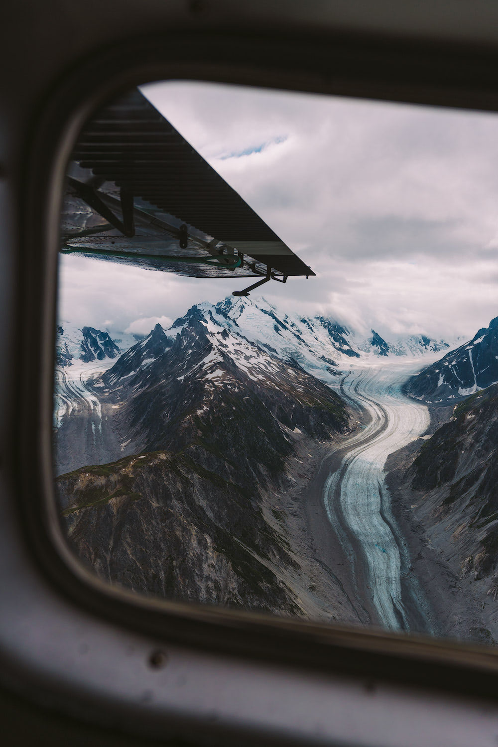
TELAQUANA & TURQUOISE LAKES, LAKE CLARK NP
Location: Lake Clark National Park, southwest of Anchorage.
Distance: depends on the trip! (more information below)
Camping: Yes, though be sure to follow Leave No Trace principles.
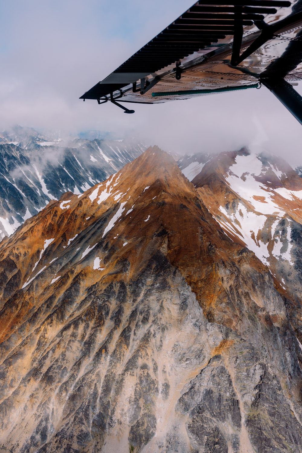
Details: During our Alaska hiking adventure we opted to spend a week exploring the wilderness of Lake Clark National Park. Full blog post coming soon, but in short we essentially flew into Telaquana Lake, hiked over to Turquoise Lake and then base-camped there for a few days. We had planned to extend our route to Twin Lakes but circumstances didn’t allow for it.
Our trip was guided by Expeditions Alaska and I wouldn’t recommended venturing into the park without a guide or solid knowledge and of the area and adequate route finding skills. Keep in mind that the park doesn’t have any marked or maintained trails and most routes involve bushwhacking and stream/creek/river crossings. Watch this space for a more in-depth blog post on our trip!
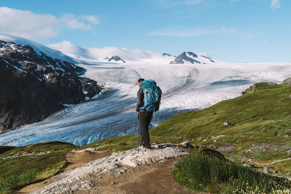
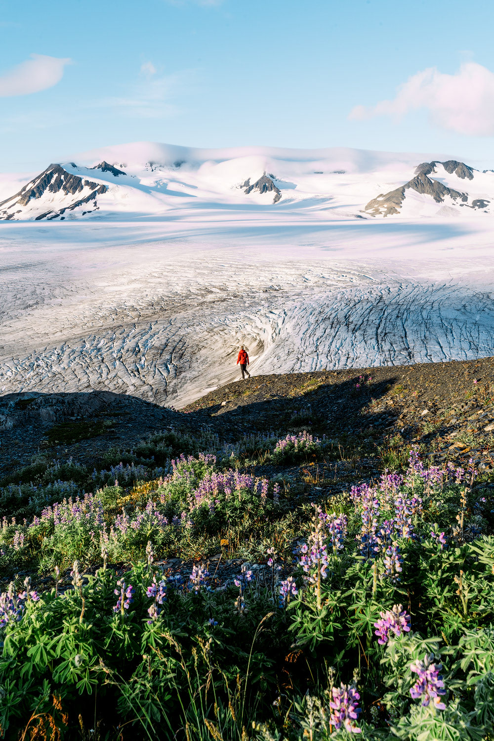
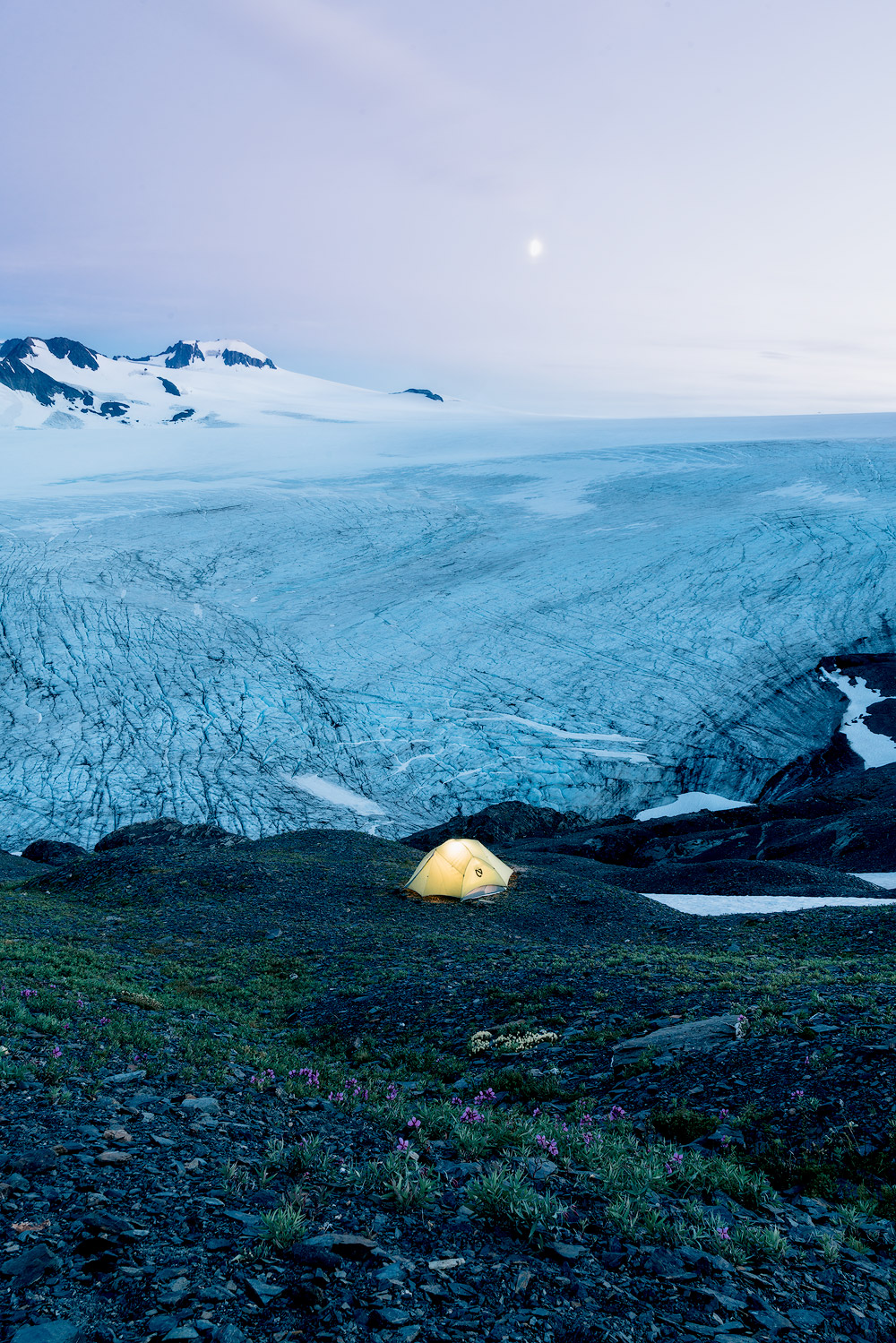
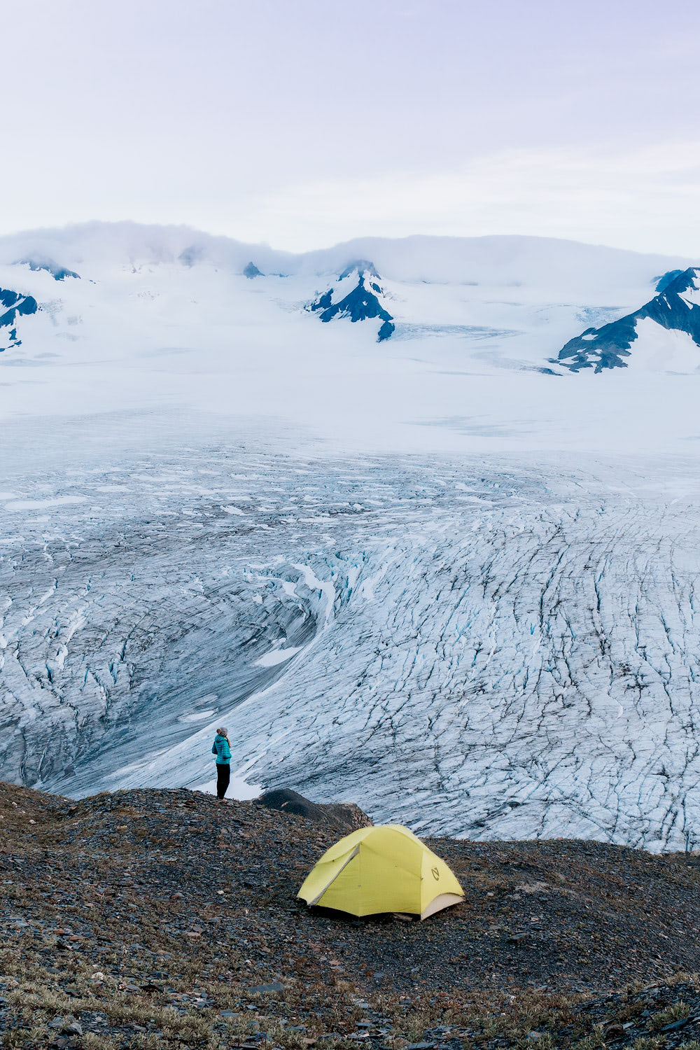
HARDING ICEFIELD, KENAI FJORD NP
* We hiked this trail in the summer of 2017, during our National Parks Road Trip. It was just too beautiful not to include in this post! Still one of my favorite hikes to date!
Location: Exit Glacier, Kenai National Park
Distance: 8.2 miles (roundtrip) + you will have to walk the Exit Glacier Paved Path to access the trailhead, adding approximately 1.5 miles overall.
Elevation: 3800 feet of gain (be prepared, this is a steep one!)
Parking: free, at the Exit Glacier parking lot.
Camping: Yes, along the Harding Icefield Trail corridor, though you must be a decent ways from the trail on bare rock or snow. Be sure to follow Leave No Trace principles.
Details: The magnificent Harding Icefield is the jewel of Kenai Fjords National Park (at least in my opinion!) From this massive 700-square-mile icefield, countless tidewater glaciers pour down, carving fjords and icebergs. Over 30 glaciers of different size and type flow from the Harding Icefield, with some terminating in lakes (e.g. Skilak Glacier), some ending on land (e.g. Exit Glacier), and some being tidewater (e.g. Aialik Glacier). The Icefield may be a remnant of the Pleistocene ice masses that once covered half of Alaska.
Spectacular views of the Icefield can be gained via hiking the 8.2-mile roundtrip Harding Icefield Trail, either as a day-trip or to camp overnight. This strenuous trail gains approximately 1000 feet every mile and should only be attempted by relatively fit and prepared visitors.
The hike provides breathtaking views of Exit Glacier, cottonwood and alder forests, heather filled meadows and of course the ginormous Harding Icefield. The top of the trail provides a horizon of ice and snow that stretches as far as the eye can see. We had a wonderfully peaceful (and chilly!) night camping by the Icefield, something we would do again in a heartbeat.